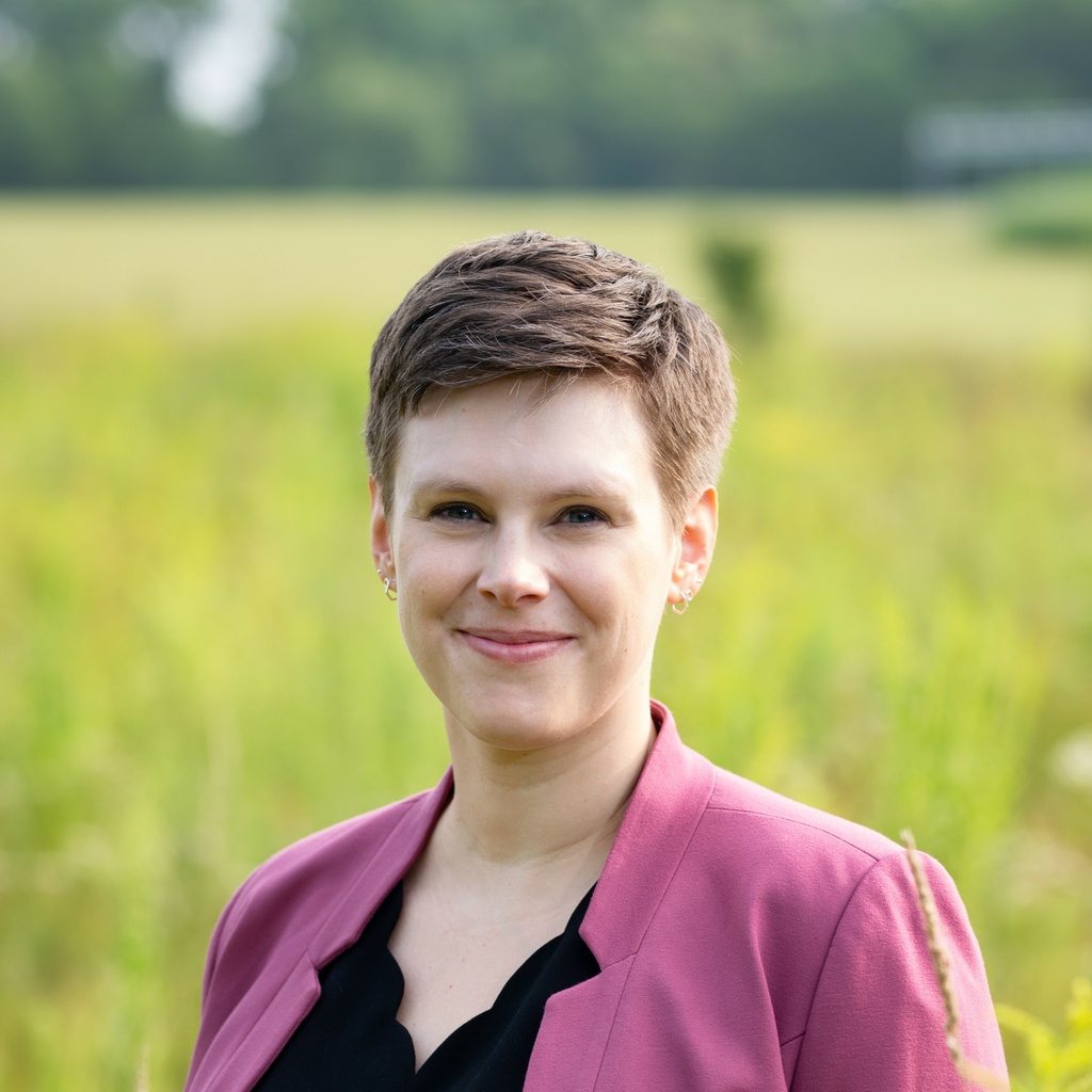
Susan Meerdink
Title/Position
Assistant Professor
I use proximal, UAV-based, airborne, and spaceborne remote sensing for ecological and environmental applications in terrestrial and aquatic ecosystems. My work leverages hyperspectral and thermal remote sensing to quantify plant species' responses to disturbances such as hurricanes, drought, or wildfires.
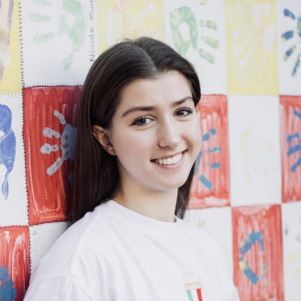
Beverly Bishop
Title/Position
Undergraduate Researcher
My name is Beverly Bishop and I am a junior Sustainability Science major with a strong interest in the physical impacts of climate change and the use of geospatial technology to analyze and address environmental challenges.
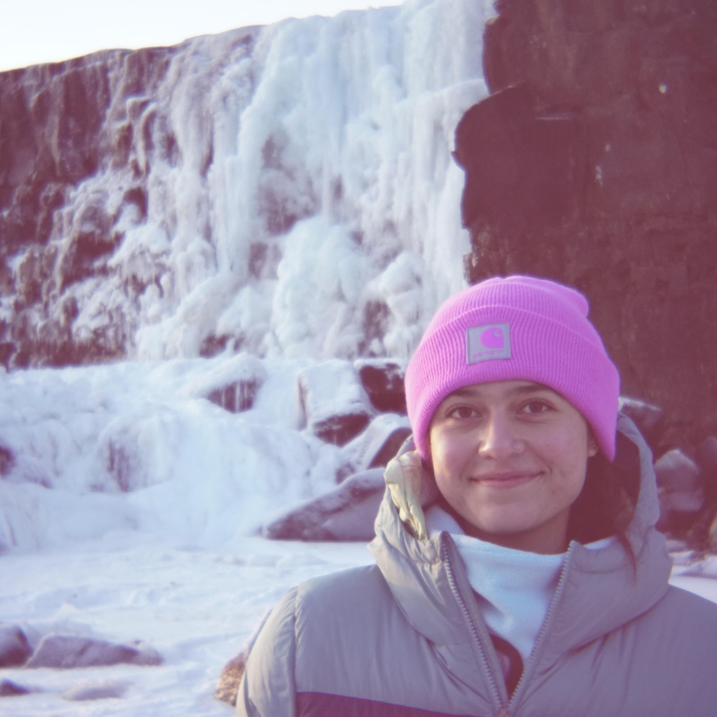
Lilliana Carreon
Title/Position
Undergraduate Researcher
Lilliana is an undergraduate researcher at LOQATE, studying Environmental Science, Geography & Sustainability, and Geographic Information Systems. She is also currently assisting IGS on analyzing well transects for hydrogen zones and UWIN in phototagging wildlife across Iowa.

Charlotte Hanfland
Title/Position
Undergraduate Researcher
Charlotte is an undergraduate student studying Sustainability Science, GIS, and Environmental Science with an anticipated graduation in May 2026. Her research currently utilizes LiDAR to analyze restored prairie plant height.
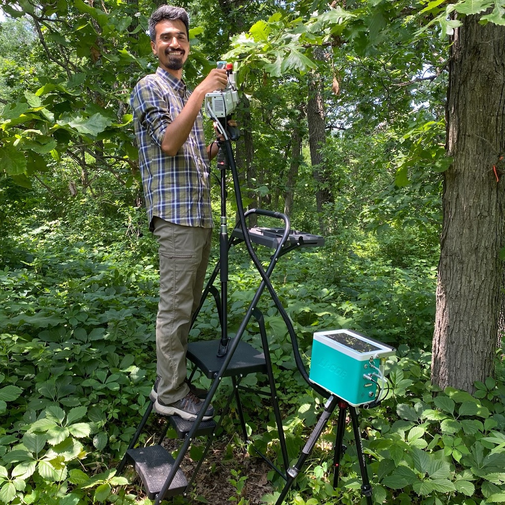
A H M Mainul Islam
Title/Position
Ph.D. Candidate
Mainul is a PhD candidate in the School of Earth, Environment, and Sustainability (SEES). He studies the mapping of Bur Oak Blight (BOB) severity and extent across selected study sites in North Iowa using imaging and non-imaging hyperspectral remote sensing technologies. His primary focus is on understanding the photosynthetic ability of blighted leaves using leaf hyperspectral and gas exchange data. In addition, he aims to explore the spectral variability of blighted leaves using leaf spectroscopy and the classification of BOB severity levels using satellite imagery. He uses different statistical methods in Python and the R environment to observe and analyze the interactions. He is teaching the Foundations of GIS Laboratory, an introductory-level GIS course open to anyone interested in using GIS.

Nina Osborne
Title/Position
Undergraduate Researcher
Nina is an undergraduate researcher at LOQATE, majoring in Environmental Policy and Planning, as well as Geography, with a focus on Geographic Information Science.
Riley Pacer
Title/Position
Master Student
Riley Pacer is a master’s student in LOQATE Lab and ECH20 Lab. She is interested in understanding how our changing climate impacts the surface temperature and local cooling potential of restored prairie landscapes. She currently uses eddy covariance and remote sensing to monitor surface meteorology, ecosystem energy, and water fluxes which drive changes in land-surface and air temperatures.
Riley is an FAA certified Remote Pilot with experience using UAVs to conduct field research, specifically using lidar and thermal sensors to track temporal changes in plant canopy structure and surface temperature. Riley is also interested in UAV applications in the field of archaeology and has worked various archaeological sites in Iowa as well as well as sites in Portugal and Italy.
Jalissa Pirro
Title/Position
Master Student
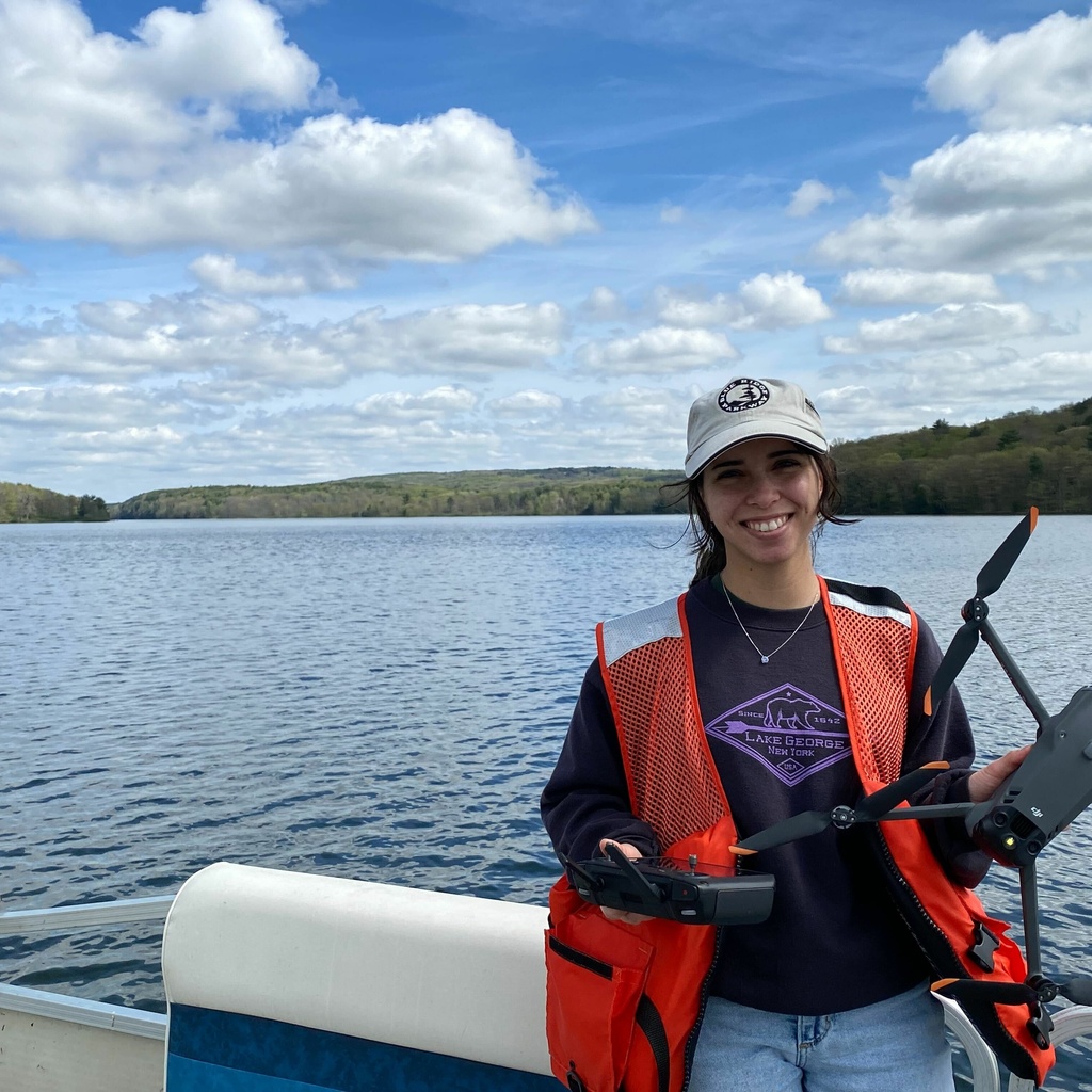
Jalissa Pirro is a LOQATE master's student in the School of Earth, Environment, and Sustainability Sciences. Her research centers on agricultural remote sensing, with a focus on analyzing the spatial and density distribution of bioenergy crops with Unmanned Aerial Systems (UAS). As a certified UAS pilot, she utilizes light detection and ranging (LiDAR) attached to UAS to survey the perennial grass, Miscanthus x giganteus (MxG). In a USDA-funded collaboration with the Donald Danforth Plant Science Center, she aims to develop an automated Python pipeline for high-density, high-resolution point clouds to compute height above ground and quantify individual stems of MxG. Her work will contribute to the ongoing conversation between Midwestern scientists and farmers regarding management strategies of MxG.
Samuel Taylor
Title/Position
PhD Candidate
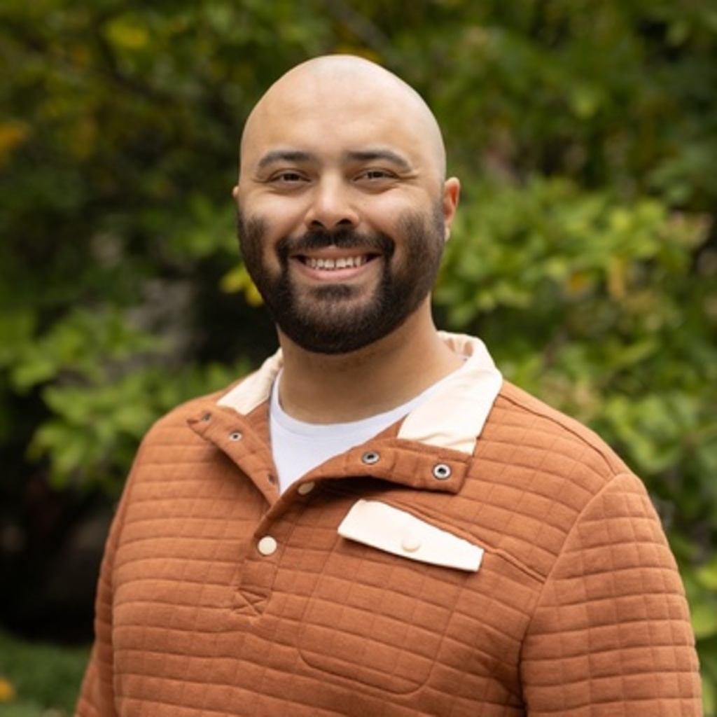
Samuel Taylor is a doctoral student in the School of Earth, Environment, and Sustainability Sciences. His research focuses on remote sensing of inland water quality, with an emphasis on monitoring and predicting harmful algal blooms across optically complex lake systems. He integrates hyperspectral and multispectral imagery, in-situ spectroscopy, fluorescence probing, real-time sensor networks, and laboratory and decadal citizen-science water quality datasets into unified frameworks that leverage machine learning for more reliable bloom forecasting. By combining long-term water quality data with near-real-time satellite observations, his work aims to develop new monitoring strategies that help lake managers and communities respond more quickly to public health and ecological threats than current methods allow.
Past Lab Members
Hannah Bäck
Title/Position
Undergraduate Researcher

Isaac Young
Title/Position
Undergraduate Researcher
Isaac studies the use of remote sensing for monitoring plant health. His research focuses on using multispectral imagery to track the progression and geographic distribution of bur oak blight, a fungal infection that exclusively afflicts bur oak trees. He uses statistical methods in R to establish connections between spectral data and on-the-ground blight surveys. After graduation, Isaac hopes to continue using GIS for ecological applications and to make geospatial data communicable to the public.