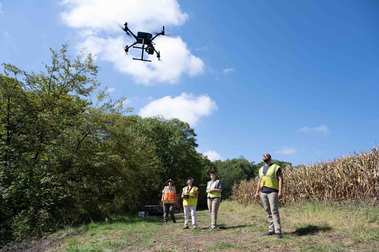
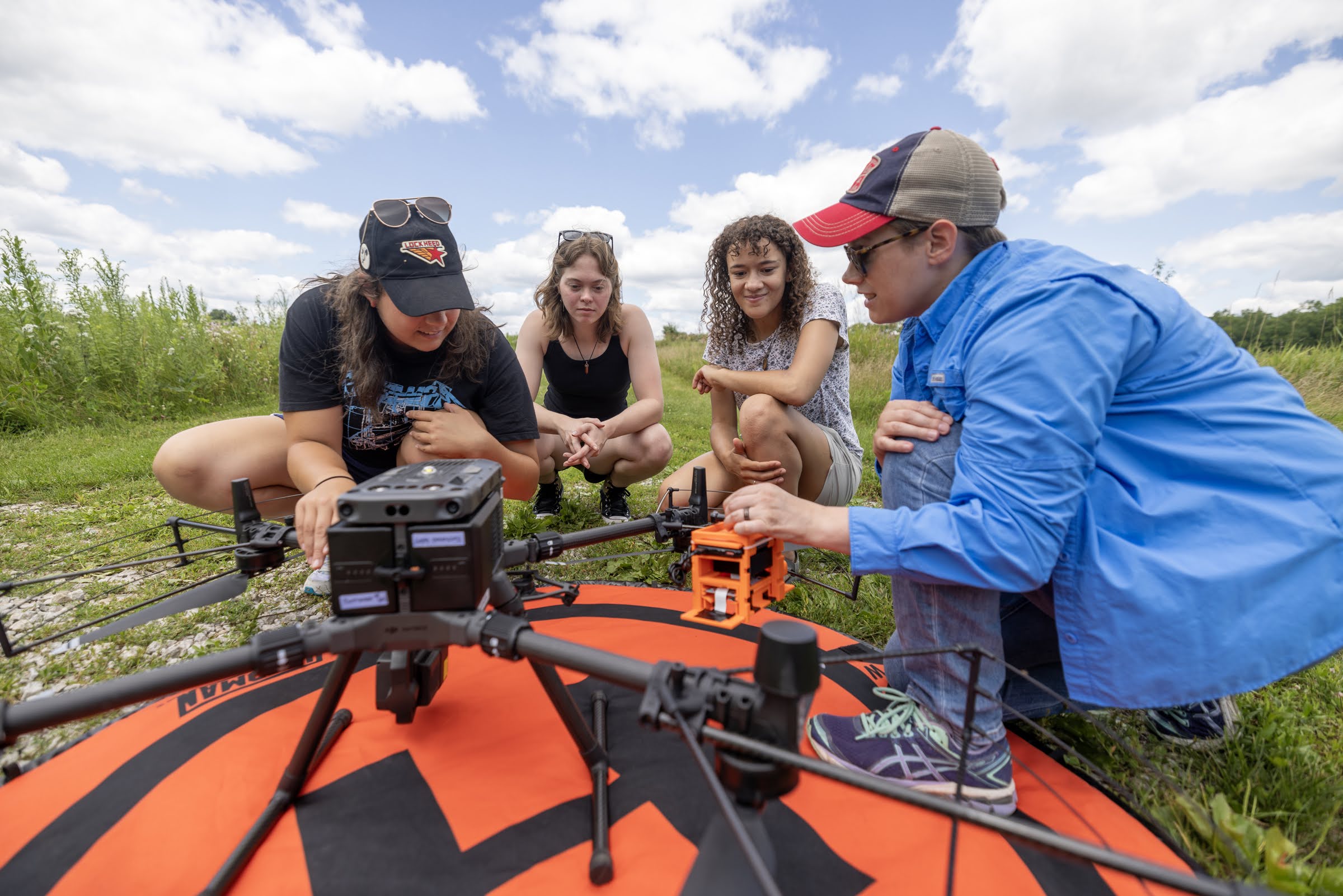
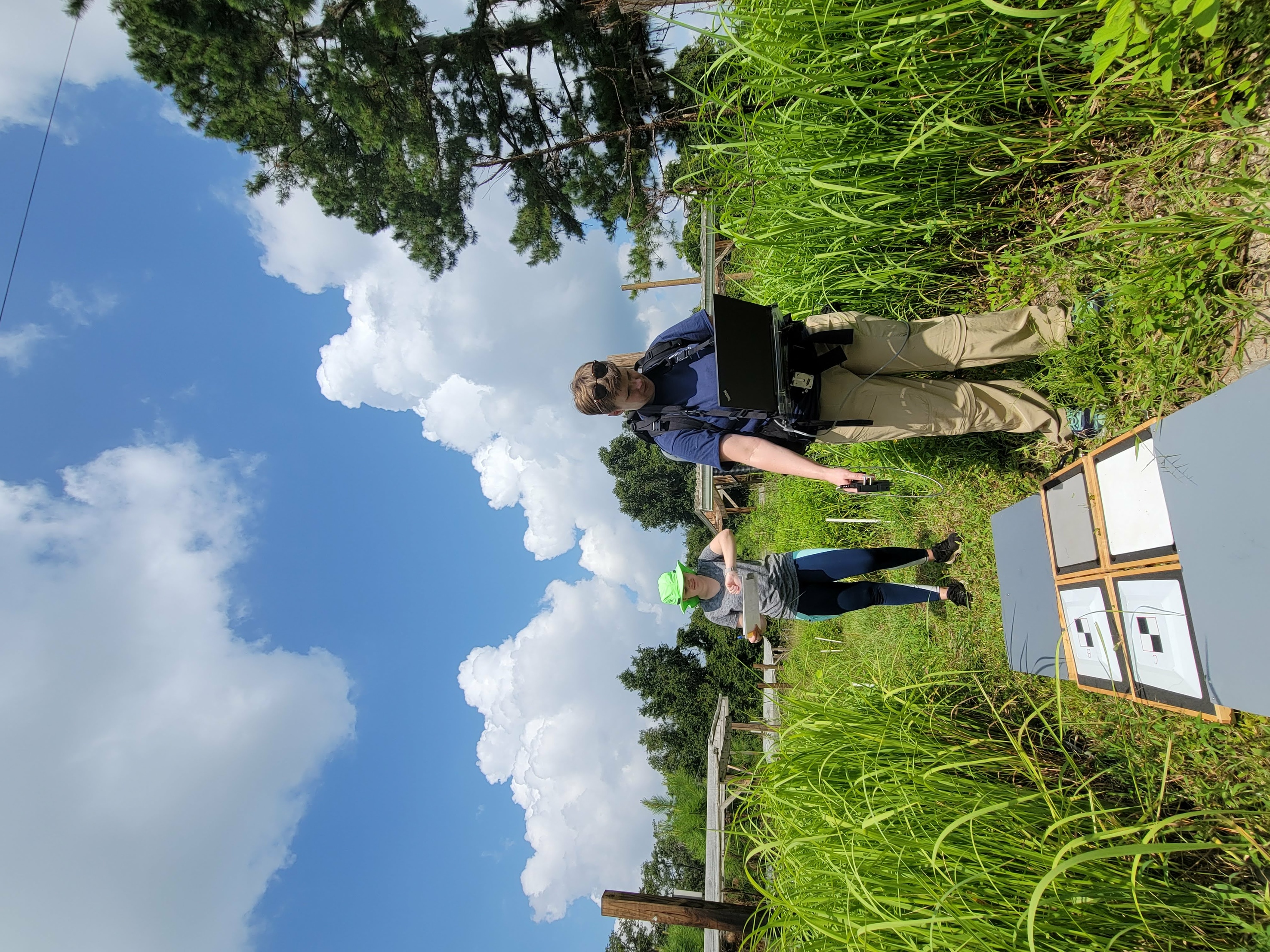
I am a remote sensing scientist aiming to develop remote sensing techniques to address why, how, and where our ecosystems change under increasing pressures, such as invasive plant species, disease, and harmful algal blooms. I connect in-situ observations to remotely sensed imagery to enhance our understanding of these influencers and have used UAVs, airborne, and satellite imagery to achieve these goals. I specialize in hyperspectral remote sensing or imaging spectroscopy but frequently work with thermal, LiDAR, and multispectral.
I love collaborating and lending my remote sensing experience to enhance others' work. For example, I have collaborated with the Office of the State Archaeologist to collect LiDAR imagery using UAVs for archaeological site characterization, and the Iowa State University Sustainable Advanced Bioeconomy Research (SABR) Farm to collect LiDAR and multispectral imagery using UAVs for miscanthus measurements.
Research Themes
Species Classification
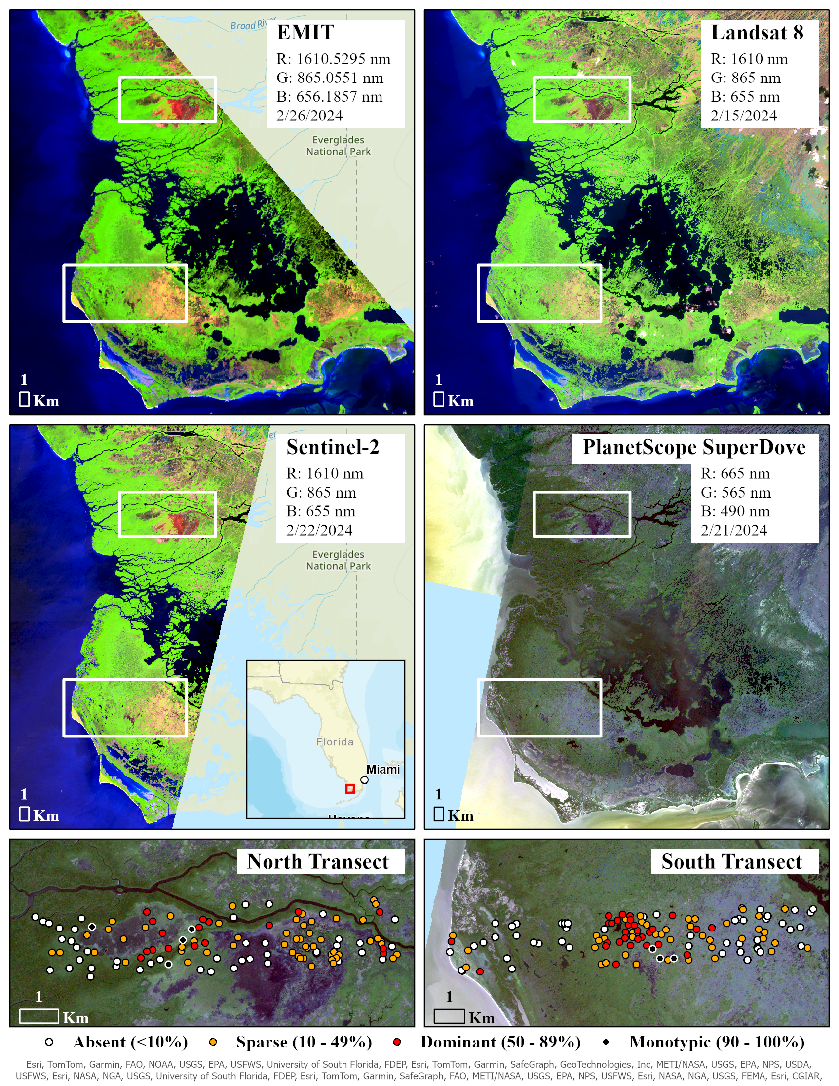
Plant species maps provide a baseline for monitoring the world’s ecosystems, which are already responding to climate change. There are many techniques for developing species distribution maps, but remote sensing technology allows for investigating ecological processes and systems on larger spatial and temporal scales with the option for routine monitoring. We have classified native chaparral species during a Southern California drought using AVIRIS imagery, as imaging spectroscopy makes discrimination of plant species possible because the hundreds of narrow bands can be used to detect subtle spectral shifts between species that are caused by differences in chemistry, physiology, and structure. We have also used similar techniques for classifying invaders in the Everglades National Park using satellite remote sensing imagery that capitalized on the structural and phenological differences between invaders and native vegetation communities.
Harmful Algal Blooms
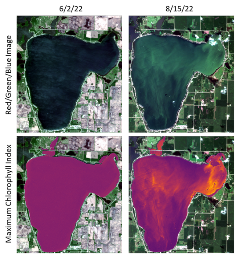
Harmful algal blooms (HABs) have been increasingly present in Iowa lakes, which in turn threatens drinking water availability and state income through recreational opportunities. Given that HABs can produce microcystin, a toxin that can cause liver and kidney failure and cancer, there is an increased human health risk. Current projections suggest that HAB events will increase with warming temperatures. Currently, in Iowa, 39 state-owned beaches are monitored by water sampling once a week, limiting the capacity to make informed risk assessments across the state throughout the summer. We are developing remote sensing methodologies to increase monitoring capability of HABs focusing on Iowa's lakes. Our goal is to equip water managers with the spatio-temporal trends that can provide insight into the dynamics of HABs.
Plant Disease
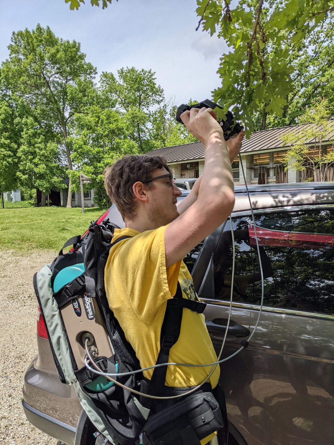
Bur oak blight (BOB), caused by the native fungal pathogen Tubakia iowensis, has been observed in Iowa and several other Midwestern states since the mid-1990s and is severely impacting the population of bur oak (Quercus macrocarpa) trees. Bur oak is an important ecosystem service provider and Iowa’s state tree. We are combining in-situ observations of disease severity and leaf spectroscopy to scale individual tree responses to the landscape with remotely sensed airborne and satellite imagery. Our goal is to develop approaches for detecting the disease across severity levels and progression of the disease.